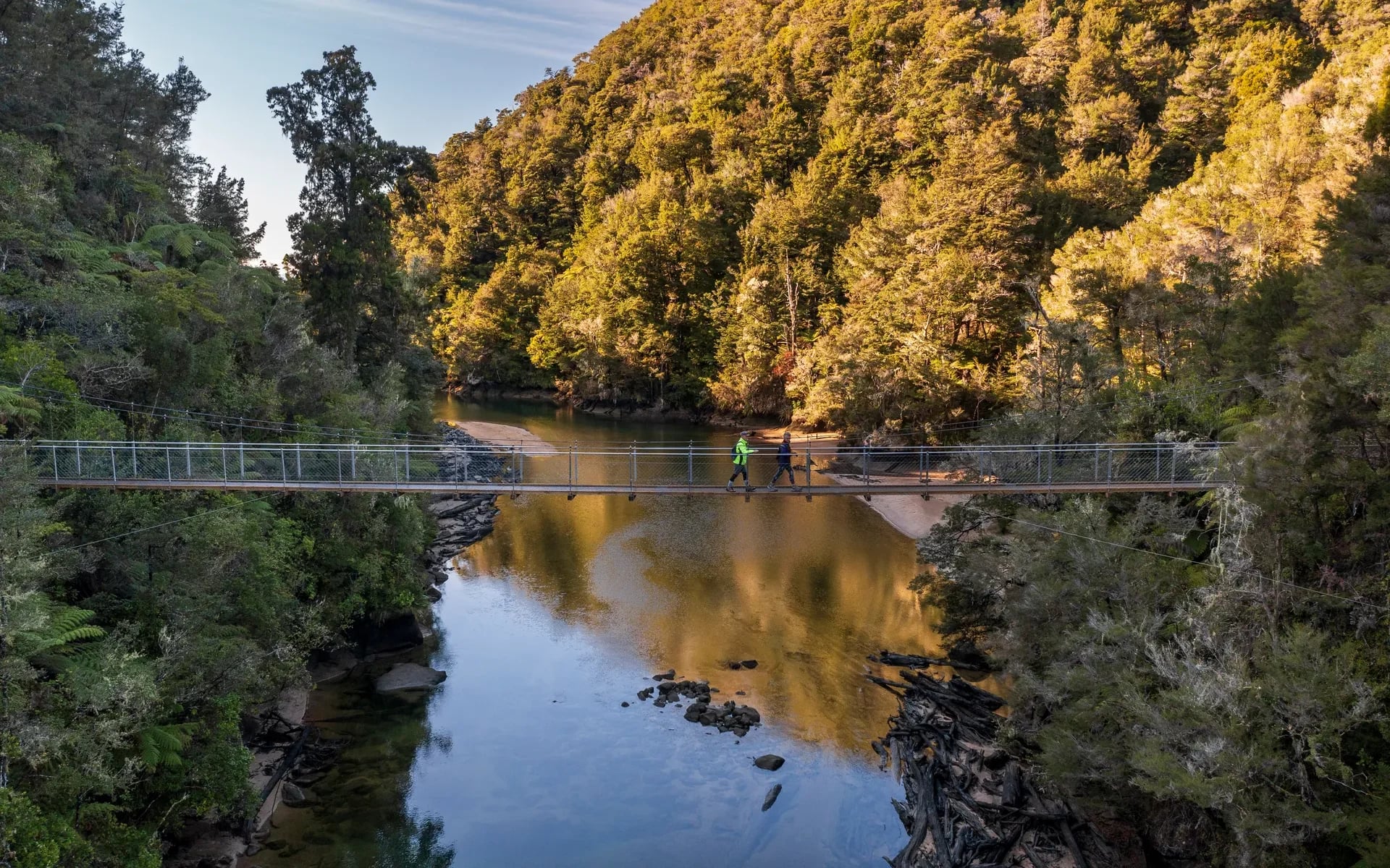
blurry placeholderFalls River Bridge in Abel Tasman

Single day walks

Stepping out for the day

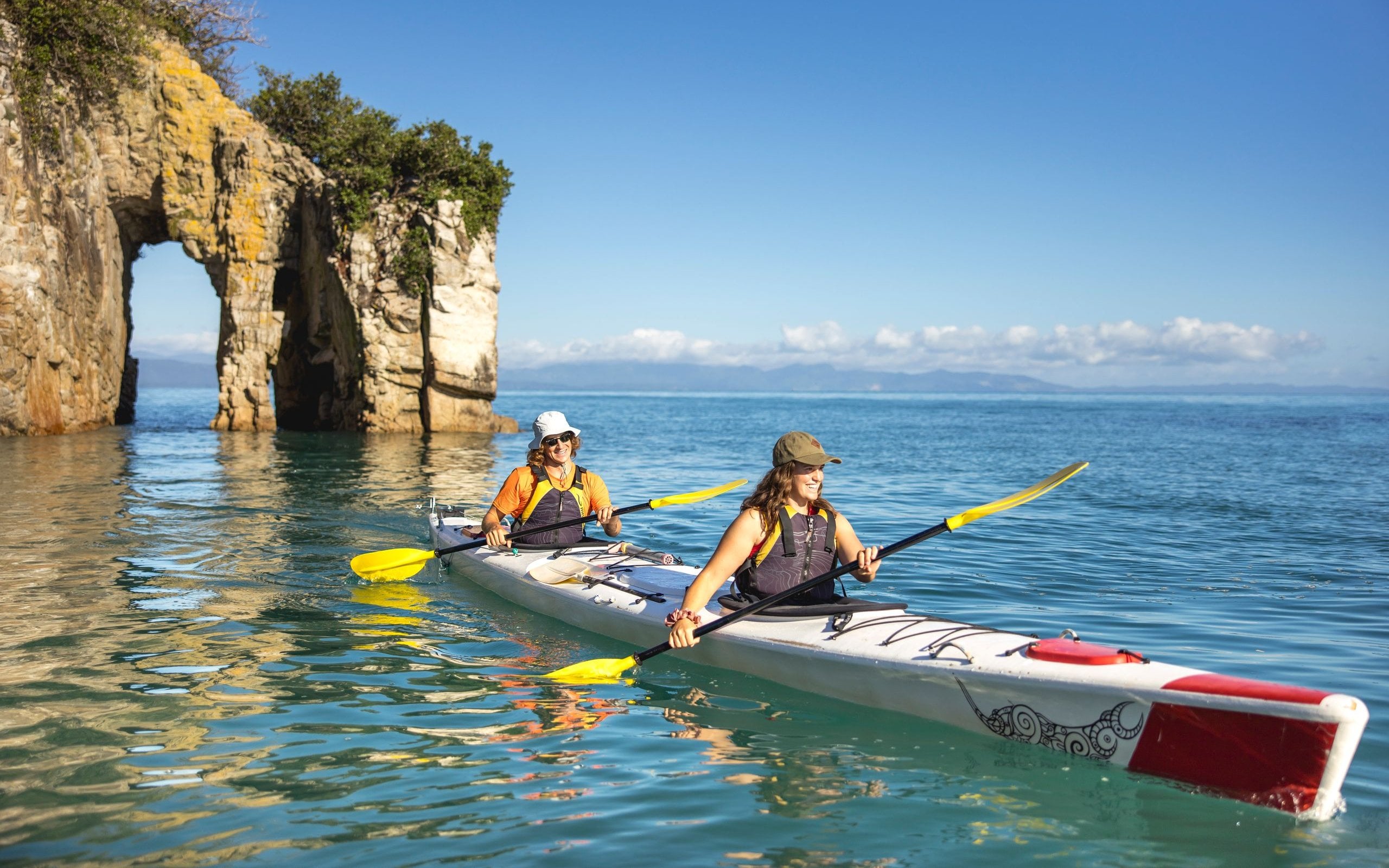
The diversity of the environment in Nelson Tasman makes it the perfect destination for day-walkers, or those who just want to get out and about amongst nature. From challenging hikes over tussocked mountain ranges, to beautiful coastal walks, and day treks around spectacular glacial lakes, Nelson Tasman has a range of walking tracks suitable for all ages and fitness abilities.

Choose your walk

blurry placeholderCouple hiking in Kahurangi National Park Lake Sylvester

Kahurangi National Park

The meaning behind the name ‘Kahurangi’ is ‘treasured possession’, the perfect way to describe New Zealand’s second-largest national park, spanning 450,000 hectares from Golden Bay in the North to Murchison in the South right across to the spectacular and wild West Coast.
 
blurry placeholderFarewell Spit signage

Farewell Spit Beach

You’ll never experience a beach quite like Farewell Spit in Golden Bay. Mighty, majestic, and magnificent are just three words regularly used to describe the 35km sandspit that shelters the Nelson Tasman region from the wild west coast weather.
 
blurry placeholderAbel Tasman Coast Track

Abel Tasman Coast Track Great Walk

The Abel Tasman Coast Track is one of the Great Walks - New Zealand’s premier hiking tracks, passing through some of the most awe-inspiring and pristine landscapes. This self-guided hike on the 60km track through coastal forest takes 3-5 days.
from NZ$38
 
blurry placeholderDuggans Dam Aorere Valley by Shellie Evans

Aorere Goldfields Track

The 3-hour loop walk in the Aorere Valley explores some of the area's more accessible gold-mining remnants, including the Slate River Sluicing Company Dam (Druggans Dam) and the Aorere Caves.
 
blurry placeholderbarnicoat walkway by gisselle purcell

Barnicoat Range Walkway

The Barnicoat Ranges form the impressive backdrop behind Stoke and Richmond, rising steeply to more than 500m elevation for most of its length.
 
blurry placeholderLake Rotoiti jeti Nelson Lakes National Park

Lake Rotoiti

The stunning scenery at Lake Rotoiti in the Nelson Lakes National Park changes with the seasons, from the vibrant red and golden hues of autumn, to the blanket of snow that wraps the lake in a cool embrace during winter.
 
blurry placeholderMount Arthur The Twins credit Danilo Hegg

Mount Arthur Summit Route

At a height of 1795m, Mount Arthur is the highest peak in the Wharepapa/Mount Arthur Range of the Kahurangi National Park.
 
blurry placeholderWhisky Falls at Lake Rotoiti

Whisky Falls

Lake Rotoiti is the main access point for many of the walks that dissect the Nelson Lakes National Park, including the Travers-Sabine Circuit and Lake Angelus, but many of the area’s ‘hidden gems’ are actually within easy reach of the lake itself, including Whisky Falls.
 
blurry placeholderCouple hiking Mount Robert Nelson Lake National Park

Mount Robert Circuit

The Mount Robert Circuit undoubtedly offers some of the best views of Nelson Lakes National Park.
 
blurry placeholderSt Aranud Range Track credit Wilderness Magazine

St Arnaud Range Track

The St Arnaud Range track climbs steadily through red beech, silver beech, and mountain beech forest for approximately two hours before emerging at Parachute Rocks. Glacial activity in Nelson Lakes National Park many, many years ago shaped the dramatic landscape, creating moraine terraces, valleys, and lake tarns.
 
blurry placeholderCable Bay Walkway taken by Bare Kiwi

Cable Bay Walkway

A 3.5 hour walk (one way) across rolling pastures and through coastal forest delights walkers with spectacular views of the Boulder Bank, Nelson City, Cable Bay, the Horoirangi Marine Reserve and the Western Ranges.