St Arnaud Range Track
St Arnaud Range Track
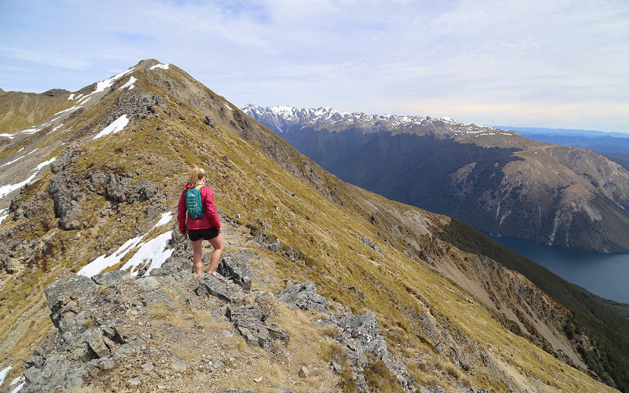
The St Arnaud Range track climbs steadily through red beech, silver beech, and mountain beech forest for approximately two hours before emerging at Parachute Rocks. Glacial activity in Nelson Lakes National Park many, many years ago shaped the dramatic landscape, creating moraine terraces, valleys, and lake tarns.

You’ll pass through shrubs, tussocks and flowering alpine fields, reaching a height of over 1650 metres. The views over the lakes from Parachute Rocks are truly spectacular. Still, the extra half-hour climb to the ridgeline offers 360-degree scenery of Wairau Valley, Mount Richmond Forest Park, Kahurangi National Park and Nelson Lakes National Park.
The walk is physically demanding and exceptionally steep in some areas, but it can feasibly be completed in approximately 5-6 hours.
The St. Arnaud Range Track starts east of Kerr Bay at Lake Rotoiti and is accessible via a fork in the Lakehead or Honeydew Track.
Contact details
Address: St Arnaud Range Track