Ben Nevis Track
Mount Richmond Forest Park
Mount Richmond Forest Park
The Ben Nevis Track climbs through forest, tussock, and rocky crags to a 1619 m summit with sweeping views over Tasman Bay and Red Hill. It’s a challenging alpine tramp with no water sources, so come prepared and expect rapidly changing conditions.

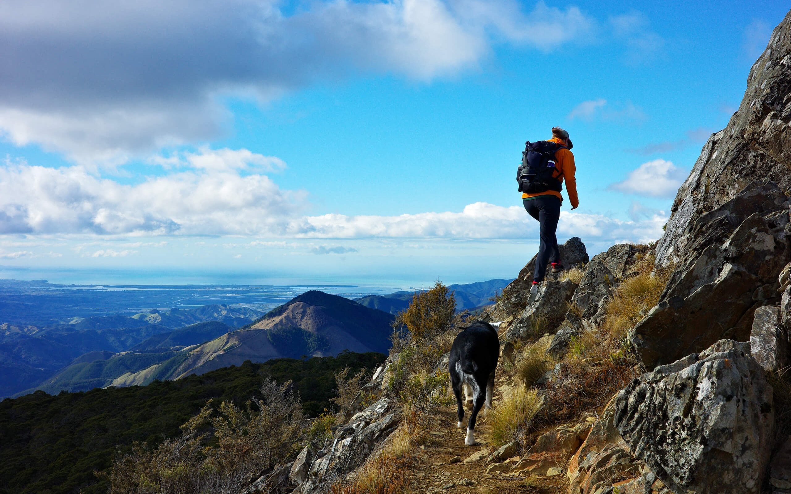

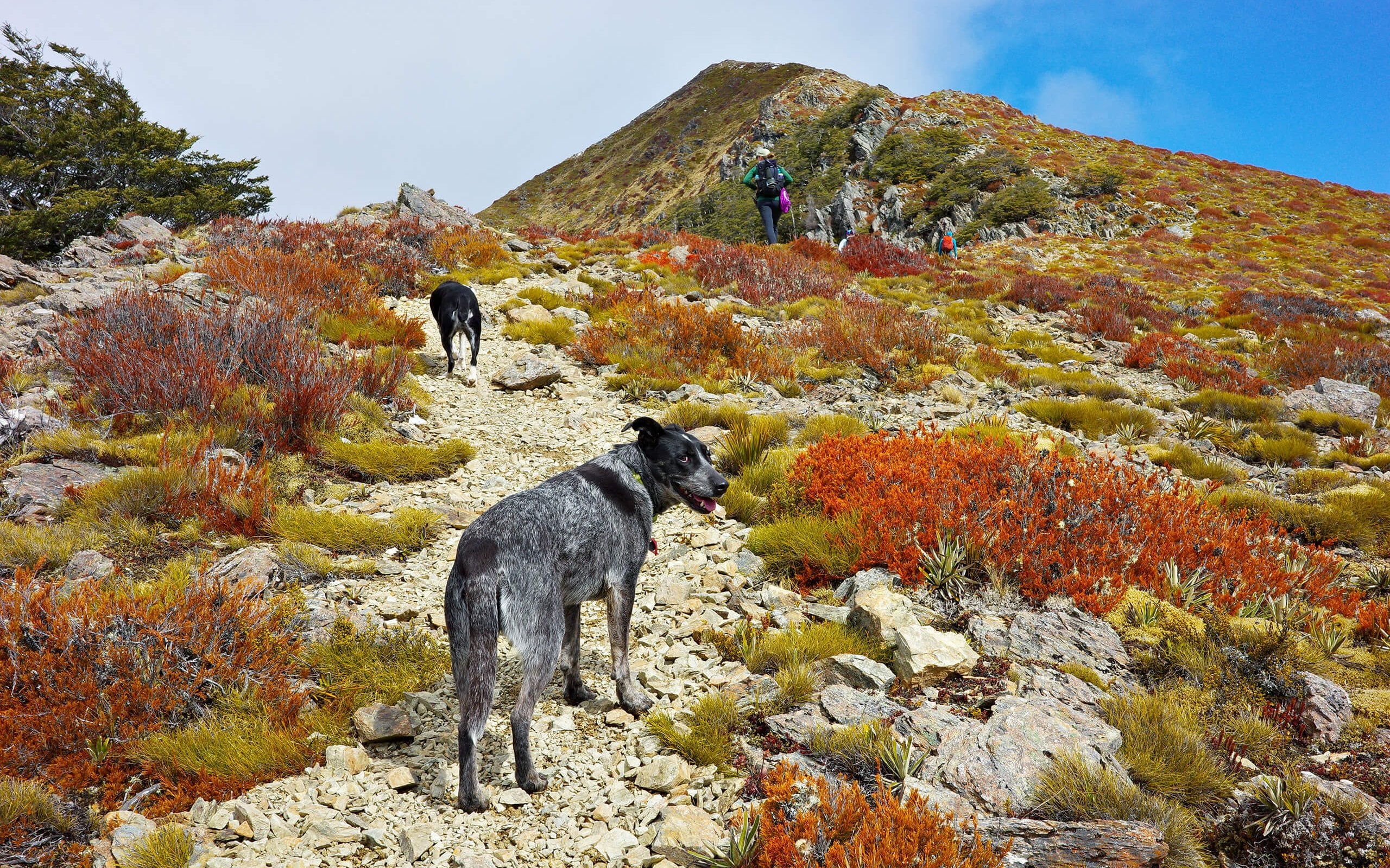

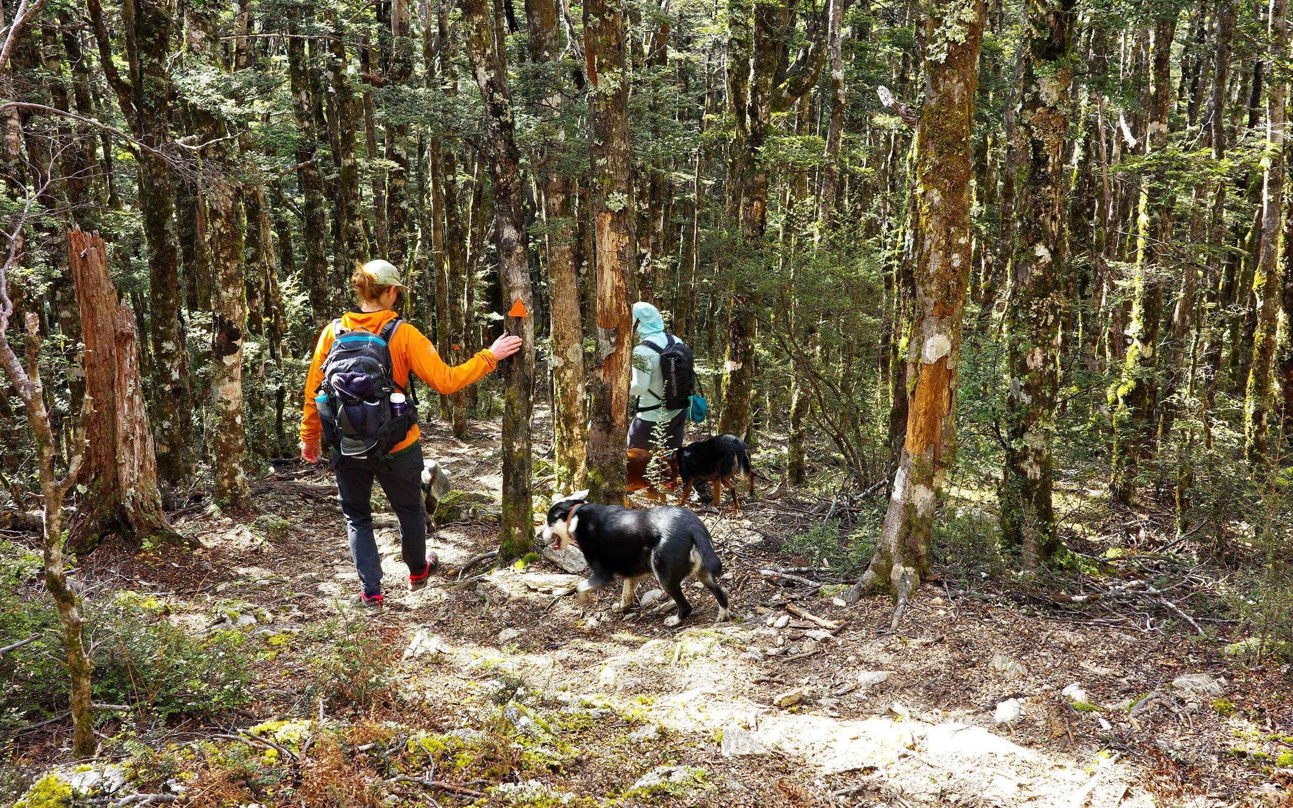
Starting at the DOC sign at the road end, the Ben Nevis Track quickly leaves the forestry block and climbs Gibbs Spur. You’ll head through open scrub and Douglas fir before stepping into beautiful beech forest. About 1.6 km in, the track opens out into a meadow and begins to climb around rocky crags that drop steeply into the Wairoa River valley to the east. From here, the trail dips back into beech forest, rolling for another kilometre until you reach the tree line at 1350m. Beyond the forest, the landscape changes to tussock and rocky outcrops. Cairns guide the way as you climb towards the summit trig at 1619m. At the top, you’ll be rewarded with wide-reaching views. Look north and west over the Tasman Bay hinterland, then turn south to see the striking tones of the Red Hills. The return trip follows the same route.
Ben Nevis sits in an alpine environment, so preparation is key. Conditions can turn freezing at any time of year, and snow or ice makes the track more challenging. Do not rely on the Nelson weather forecast as conditions in Mt Richmond Forest Park can be very different. Carry plenty of water, as there are no reliable sources on the way up.
The access road is steep, rough and windy, so it is suitable for 4WD vehicles only.
Dogs require a DOC permit.
Contact details
Address: Mount Richmond Forest Park
Email: nelsonvc@doc.govt.nz
Phone: +64 3 546 9339