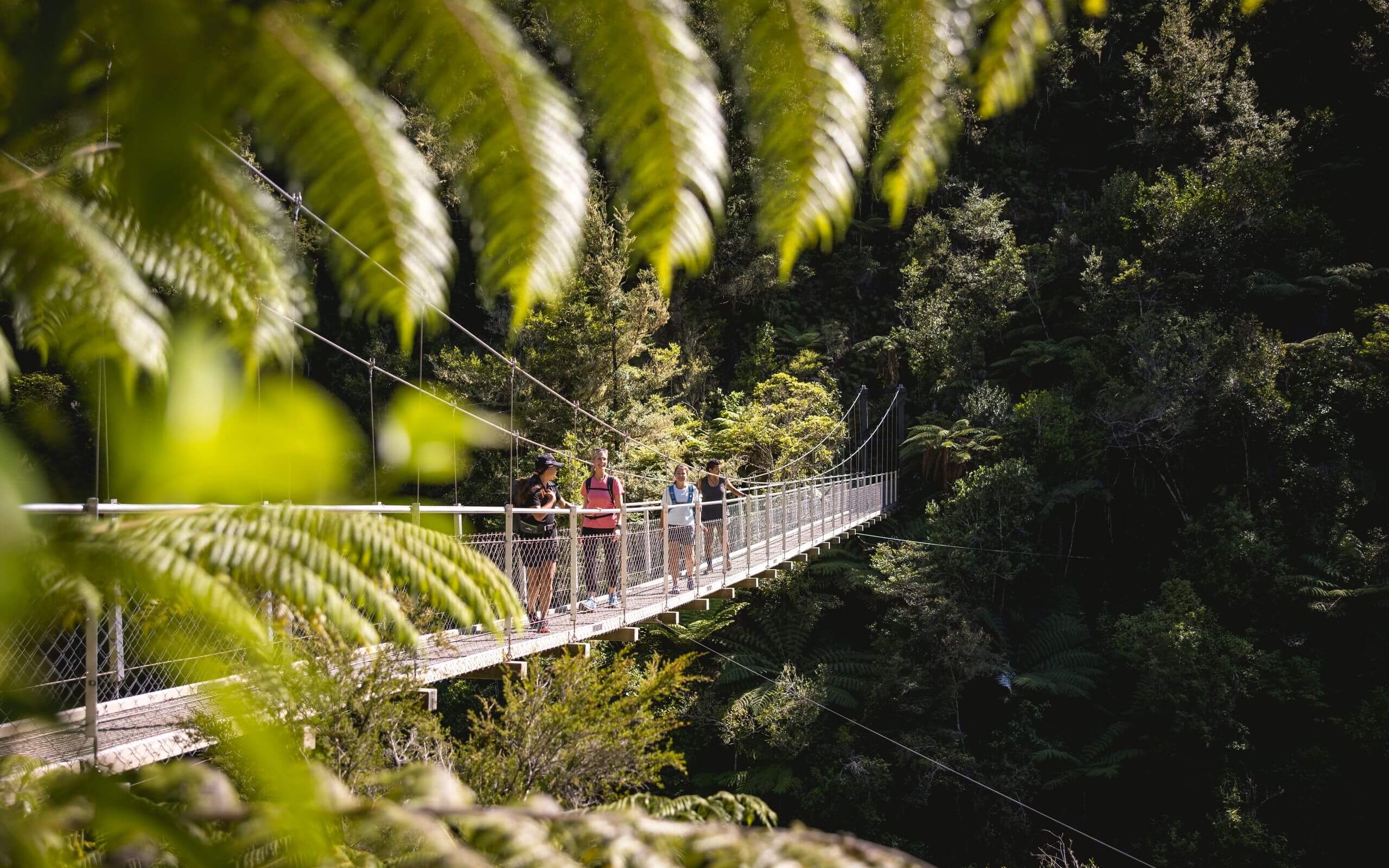
Mount Duppa
A steep but rewarding climb in Mount Richmond Forest Park, the Mount Duppa Summit Track winds through lush beech forest, past striking rock formations, before opening onto a rugged ridgeline with sweeping views across the Bryant and Richmond ranges, Cable Bay and the Marlborough Sounds on a clear day.

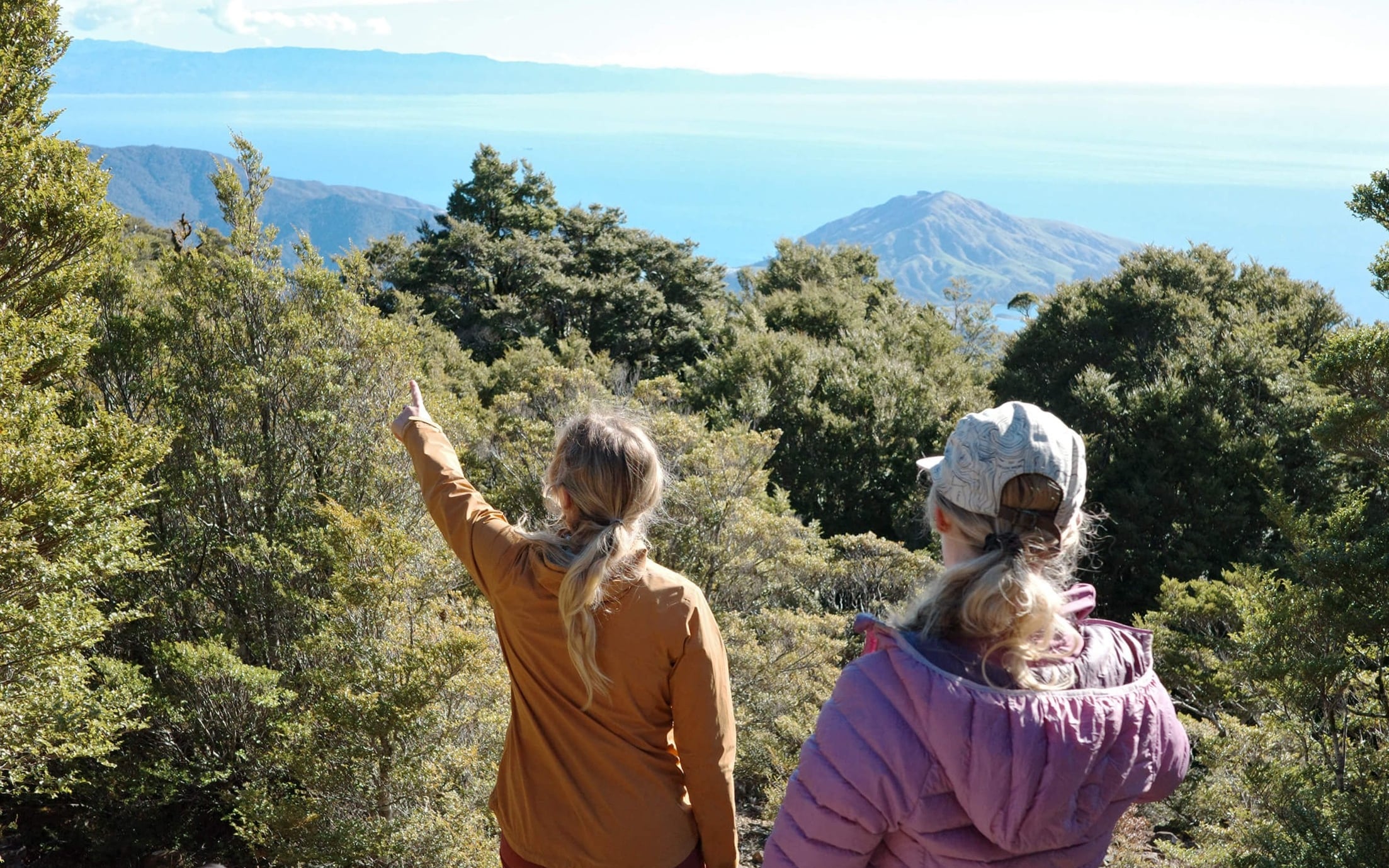

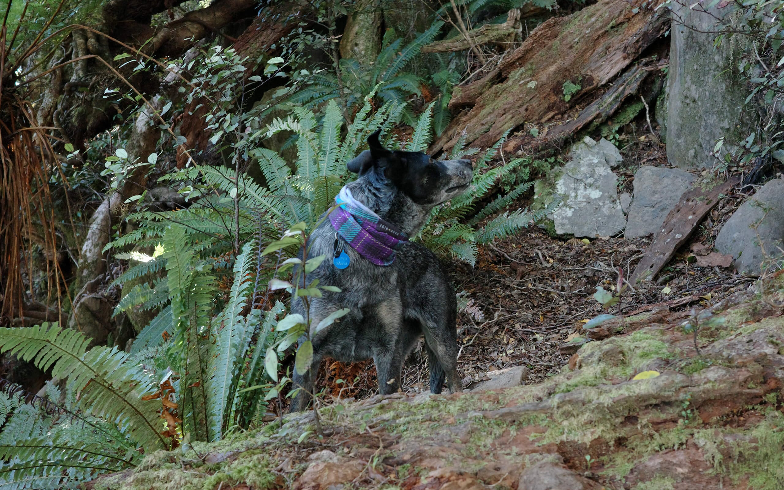

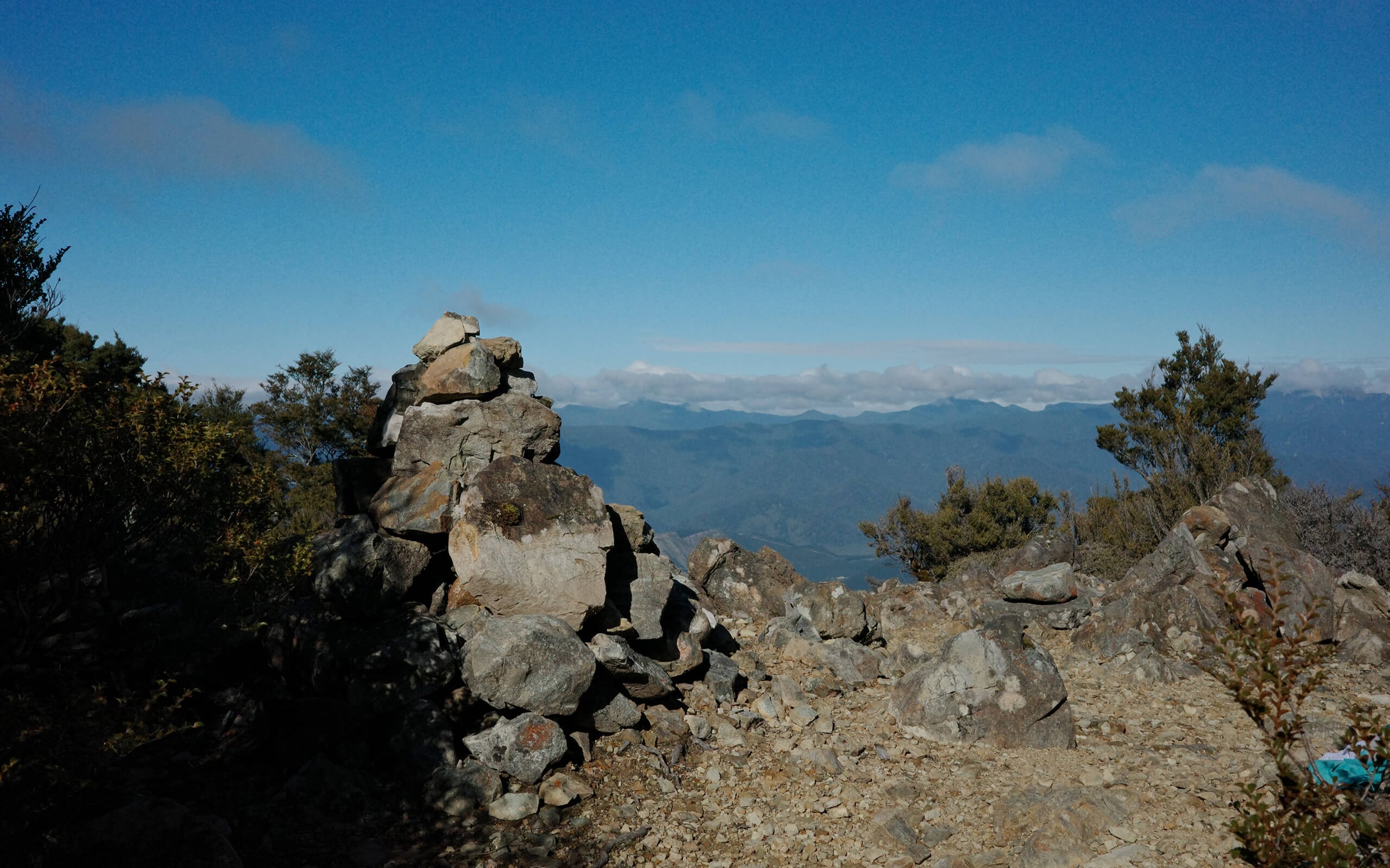

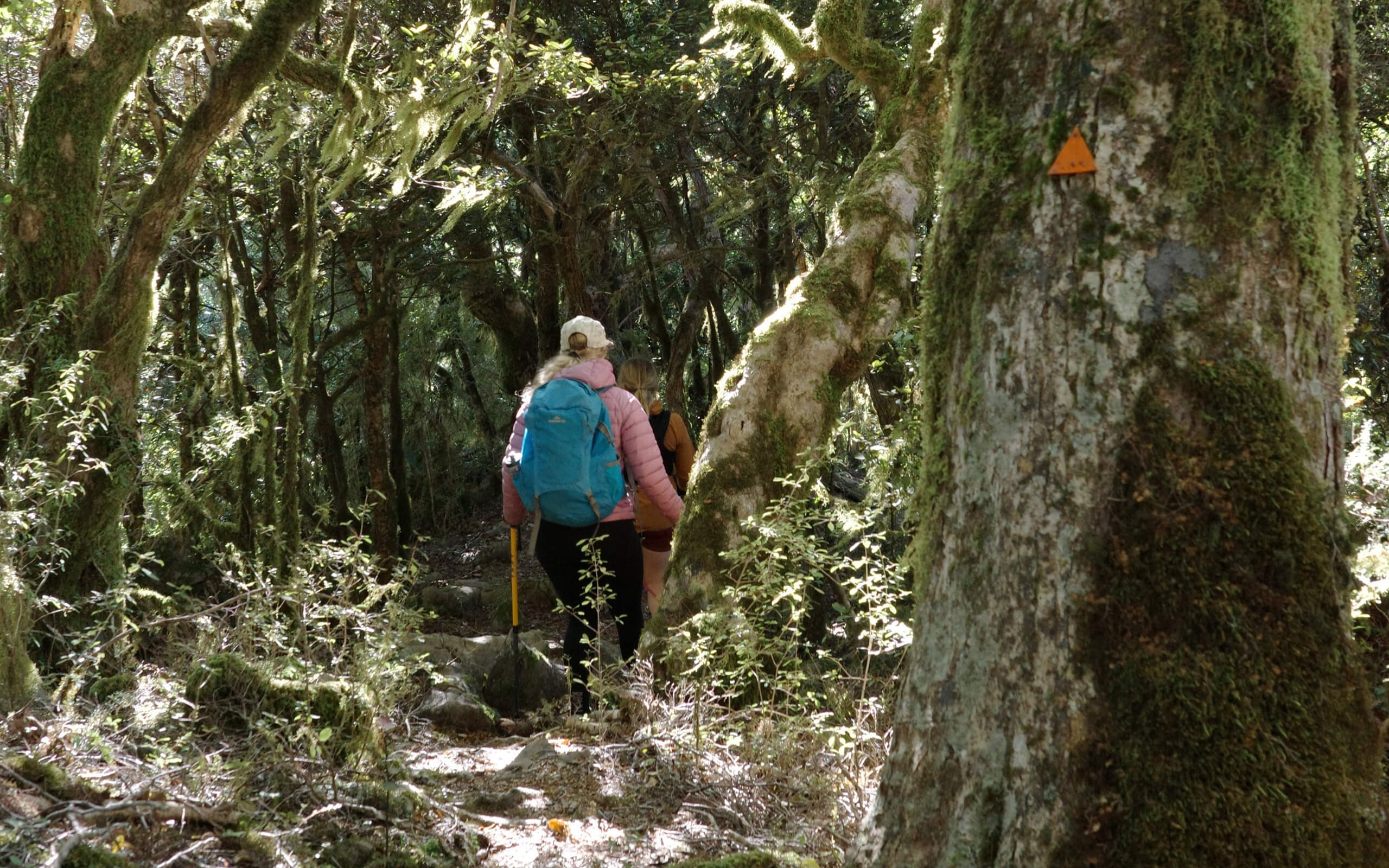
The Mount Duppa Summit Track is a challenging hike that delivers some of our region's most rewarding views. Beginning in the Whangamoa Valley, the track climbs steadily through cool beech and kāmahi forest, where crown ferns, moss-covered trees and native birds create a peaceful bush setting. The route zig-zags up the spur before emerging among dramatic limestone formations and rugged rocky outcrops, adding a real sense of adventure to the climb.
As you continue towards the 1,143 metre summit, the forest begins to open and the landscape becomes increasingly wild. On clear days, you can also spot Mount Tapuae-o-Uenuku.
Although the track is only around 5 kilometres return, its steep gradient means it is best suited to walkers with a good level of fitness. Keep an eye out for the orange markers, as the route can be difficult to follow in places.
Mount Duppa also holds a fascinating place in local history, having been the site of two aircraft accidents, adding another layer of intrigue to this memorable climb.
How to get here
The track starts off State Highway 6 in the Whangamoa Valley, about 5.4 km north of Whangamoa Saddle. If you're driving from Nelson, keep an eye out for the Department of Conservation's Mt Duppa sign on the right. This marks the entrance to Hippolite Road. From there, follow the road and turn left onto Bladebone Road until you reach the track entrance.
Dog friendly with a permit.